Eggerts Landing
58 mi west · US Army Corps of Engineers
The Eggerts Landing Campground is located on Lake Ashtabula in eastern North Dakota. With thick forests, secluded sites and lake access, it is the most popular campground in the area.
Outdoors
Lakes, rivers and beaches near Fargo where swimming is allowed on public land.
Good to know: Most natural swimming areas have no lifeguard; check water-quality advisories and current conditions before swimming.
58 mi west · US Army Corps of Engineers
The Eggerts Landing Campground is located on Lake Ashtabula in eastern North Dakota. With thick forests, secluded sites and lake access, it is the most popular campground in the area.
58 mi west · US Army Corps of Engineers
West Ashtabula Crossing Campground is located on 23 developed acres adjacent to Lake Ashtabula in eastern North Dakota. It is very popular and fills up on most weekends.
59 mi west · US Army Corps of Engineers
The East Ashtabula Crossing Campground is located on 12 developed acres adjacent to Lake Ashtabula in eastern North Dakota. It is one of the most popular campgrounds in the area.
Map of 14 places loads as you scroll.
The Eggerts Landing Campground is located on Lake Ashtabula in eastern North Dakota. With thick forests, secluded sites and lake access, it is the most popular campground in the area.
West Ashtabula Crossing Campground is located on 23 developed acres adjacent to Lake Ashtabula in eastern North Dakota. It is very popular and fills up on most weekends.
The East Ashtabula Crossing Campground is located on 12 developed acres adjacent to Lake Ashtabula in eastern North Dakota. It is one of the most popular campgrounds in the area.
The Mel Rieman Campground and Recreation Area is a 70-acre facility on the shoreline of Lake Ashtabula in eastern North Dakota. The campground is known for its spectacular sunset views.
Cass Lake Loop is part of the Norway Beach Recreation Area on beautiful Cass Lake in north central Minnesota. Visitors enjoy the area for its excellent boating and fishing opportunities.
South Pike Bay Campground is located on the south shore of beautiful Pike Bay, on Cass Lake in north central Minnesota. Visitors enjoy the area for its excellent boating, canoeing and fishing opportunities.
Reservations to all Chippewa National Forest Campgrounds can be made six months in advance. Stony Point is located on beautiful Leech Lake, in the heart of Minnesota's Chippewa National Forest.
Norway Beach Loop is part of the Norway Beach Recreation Area on the southern shores of beautiful Cass Lake in north central Minnesota. Visitors enjoy the area for its excellent boating and fishing opportunities.
Norway Beach Picnic Shelter is part of the Norway Beach Recreation Area on the southern shores of beautiful Cass Lake in north central Minnesota.
Wanaki Loop is part of the Norway Beach Recreation Area, at the southern shores of beautiful Cass Lake in north central Minnesota. The campground is a perfect location for family camping, with excellent boating and fishing opportunities.
Chippewa Loop is part of the Norway Beach Recreation Area, on the southern shores of beautiful Cass Lake in north central Minnesota. The campground is a perfect location for family camping, with excellent boating and fishing opportunities.
Knutson Dam Campground is located on the northeastern shores of Cass Lake and the Mississippi River. Recreation Cass Lake offers many recreational activities, including boating, water skiing and swimming.
Located 10 miles south of Blackduck, Minnesota on County Road 31. Follow Forest Road 2207 east for one mile, then drive two miles south on Forest Road 2236, the campground provides access to Webster Lake, a picnic area and a large trail…
Gull Lake Recreation Area offers something for everyone with boating, hiking, fishing and swimming at Minnesota's famous Gull Lake, the largest of the 10 lakes on the Gull Chain of Lakes.
Distances are straight-line miles from the center of Fargo. Listings come from Recreation.gov’s federal recreation database; check each official page for hours, fees, fire restrictions and closures before you go.

THINGS TO DO · YOUTUBE SHORT
Prairie Public’s Prairie Mosaic goes behind the scenes at the Plains Art Museum and its national, regional and local exhibitions.
Watch on YouTube ↗
THINGS TO DO · YOUTUBE SHORT
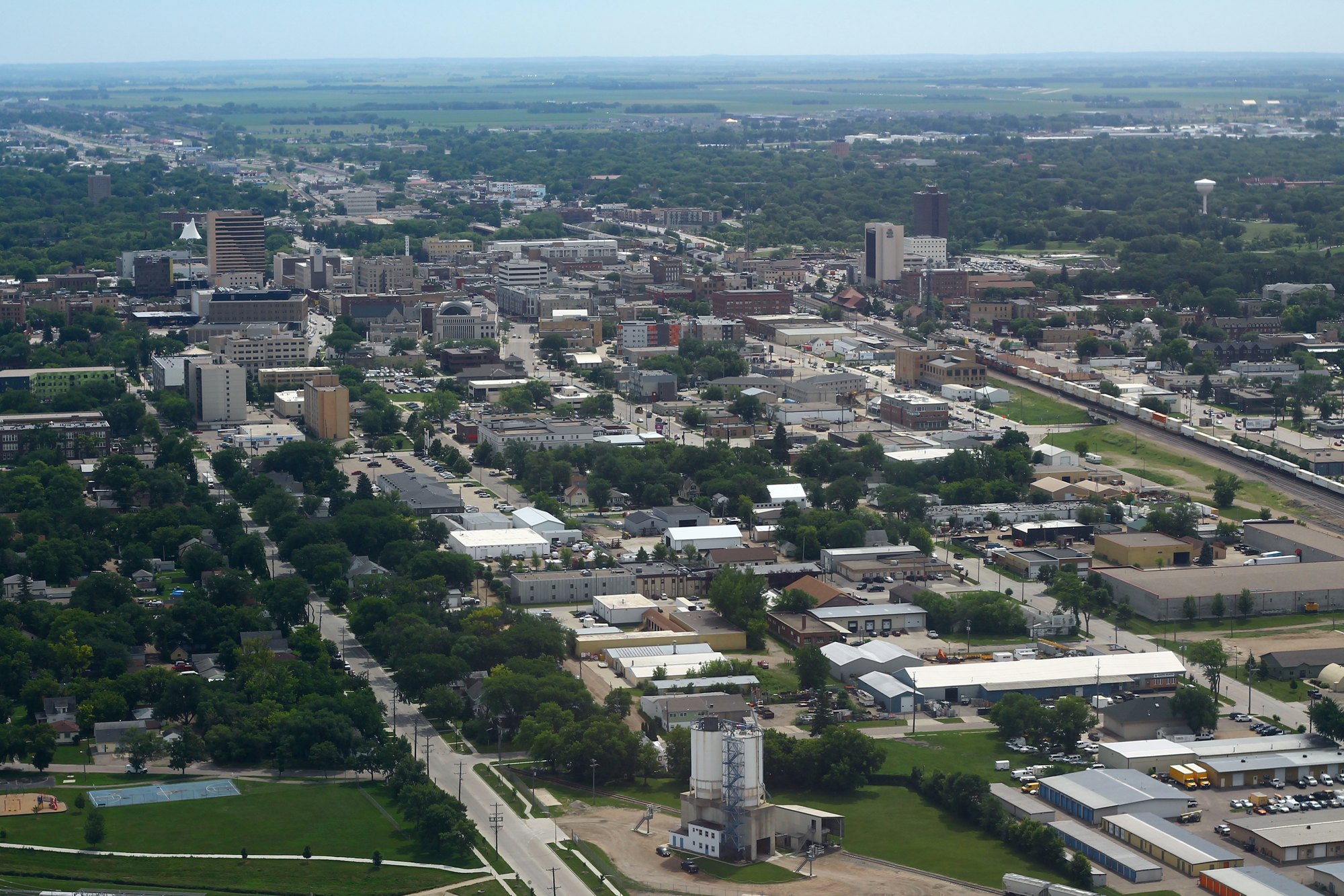
Aerial views of Fargo filmed in 4K.
Watch on YouTube ↗Eggerts Landing (US Army Corps of Engineers), about 58 miles west of Fargo as the crow flies. Next are West Ashtabula Crossing (58 mi) and East Ashtabula Crossing (59 mi).
Based on Fargo’s average highs, June–August. Conditions at higher elevations can be much cooler.
Federal agencies including USDA Forest Service, US Army Corps of Engineers. Each listing links to its official page for hours, fees, closures and current conditions.