Orwell Lake
54 mi southeast · US Army Corps of Engineers
Much of the project area is used for wildlife habitat development by Minnesota Department of Natural Resources. Many lakes in vicinity.
Outdoors
Day-use and picnic areas near Fargo on public land, from quick drives to full-day outings.
Good to know: Group picnic sites can often be reserved; fire rules change with the season, so check before bringing a grill.
54 mi southeast · US Army Corps of Engineers
Much of the project area is used for wildlife habitat development by Minnesota Department of Natural Resources. Many lakes in vicinity.
59 mi west · US Army Corps of Engineers
The East Ashtabula Crossing Campground is located on 12 developed acres adjacent to Lake Ashtabula in eastern North Dakota. It is one of the most popular campgrounds in the area.
60 mi west · US Army Corps of Engineers
The Baldhill Dam, Lake Ashtabula Project is located in eastern North Dakota, in the heart of the prairie pothole country.
Map of 11 places loads as you scroll.
Much of the project area is used for wildlife habitat development by Minnesota Department of Natural Resources. Many lakes in vicinity.
The East Ashtabula Crossing Campground is located on 12 developed acres adjacent to Lake Ashtabula in eastern North Dakota. It is one of the most popular campgrounds in the area.
The Baldhill Dam, Lake Ashtabula Project is located in eastern North Dakota, in the heart of the prairie pothole country.
The Mel Rieman Campground and Recreation Area is a 70-acre facility on the shoreline of Lake Ashtabula in eastern North Dakota. The campground is known for its spectacular sunset views.
Rydell National Wildlife Refuge was established in 1992 by means of a land donation from the Richard King Mellon Foundation.
The Lake Traverse Project is a multipurpose project located on the Minnesota ? South Dakota border. The project consists of two dams, one dike and two lakes, Traverse and Mud.
Jamestown Dam and Reservoir are features of the PSMBP - Jamestown Dam . Located in central North Dakota the reservoir provides flood protection to areas downstream.
Pipestem Dam, ND is located north of Jamestown, on Pipestem Creek. The 840-acre Pipestem Lake offers year-round recreational opportunities including camping, picnicking, and wildlife viewing.
Morris Wetland Management District includes 249 waterfowl production areas - small parcels of wetlands and grasslands - scattered throughout an eight-county area and encompassing 54,307 total acres.
Agassiz National Wildlife Refuge was established in 1937. Its primary purpose was to be a refuge and breeding ground for migratory birds and other wildlife.
Gull Lake Recreation Area offers something for everyone with boating, hiking, fishing and swimming at Minnesota's famous Gull Lake, the largest of the 10 lakes on the Gull Chain of Lakes.
Distances are straight-line miles from the center of Fargo. Listings come from Recreation.gov’s federal recreation database; check each official page for hours, fees, fire restrictions and closures before you go.

THINGS TO DO · YOUTUBE SHORT
Prairie Public’s Prairie Mosaic goes behind the scenes at the Plains Art Museum and its national, regional and local exhibitions.
Watch on YouTube ↗
THINGS TO DO · YOUTUBE SHORT
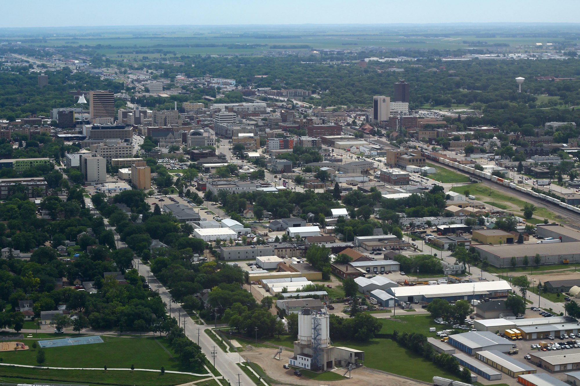
Aerial views of Fargo filmed in 4K.
Watch on YouTube ↗Orwell Lake (US Army Corps of Engineers), about 54 miles southeast of Fargo as the crow flies. Next are East Ashtabula Crossing (59 mi) and Ashtabula Lake (60 mi).
Based on Fargo’s average highs, May–September. Conditions at higher elevations can be much cooler.
Federal agencies including US Army Corps of Engineers, Fish and Wildlife Service, Bureau of Reclamation. Each listing links to its official page for hours, fees, closures and current conditions.